Dalt Vila Circular - Intermediate Route
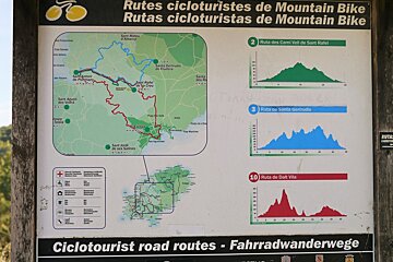
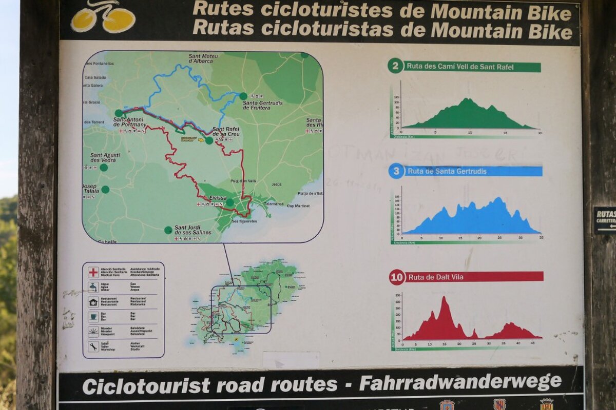
A long route that takes you across the island from San Antonio to Dalt Vila
Not technically difficult but this is a challenging bike ride, taking in a lot of distance and a fair amount of climbing and descending. You will need to physically fit to manage this.
The departure point is the es Molí roundabout in San Antonio. You will bike past some farmland and then a residential area before entering the woodlands to begin the climb into the sa Murta mountainside. From there, you descend down into the city of Eivissa.
Returning back to San Antonio along the old road to Sant Mateu, you will cross the island on the old dirt roads, going past the San Rafael parish, until you arrive at Sant Antoni. The route ends where it began, next to the municipal soccer field.
What to see
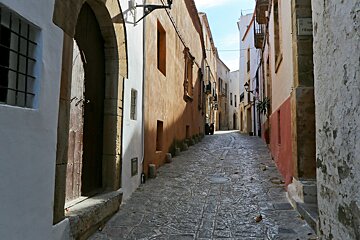
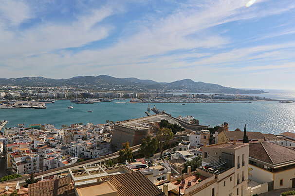
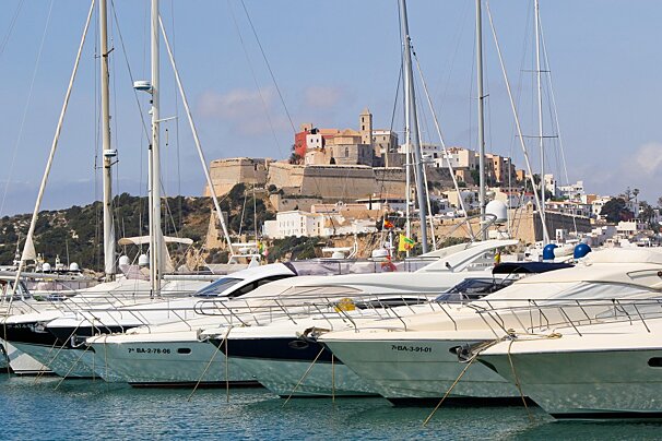
To reach the Dalt Vila of Ibiza Town is you main objective on this ride. It is a walled fortress that stands on a hill with a cliff on one side and Ibiza’s port on the other. The fort’s strategic position gave it a good view of the port and its massive stone walls prevented it from being besieged. The Phoenicians built Dalt Vila in the 6th century AD and the fort became an important trade link under the Roman Empire. The Byzantines and Arabs occupied it until Spain was conquered by the Arabs and subsequently Jaime I annexed it to the empire of Aragon. The fortified Dalt Vila monument was declared a World Heritage Site by the UNESCO in 1999.
Sights in Ibiza
See all Sights & Sites-

San Antonio Church
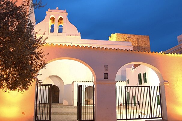
The church of San Antonio dates back to the 14th century, however like many other churches, only some of the original building remains.
-

Ses Fontanelles Cave Paintings
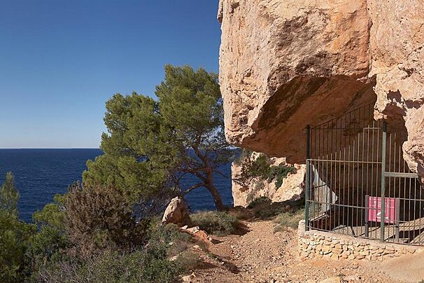
The cave of Ses Fontanelles is situated in an area of beautiful rocky cliffs between Santa Agnes and San Antonio. Inside, there are pre-historic paintings.
-

Sant Agusti des Vedra Church
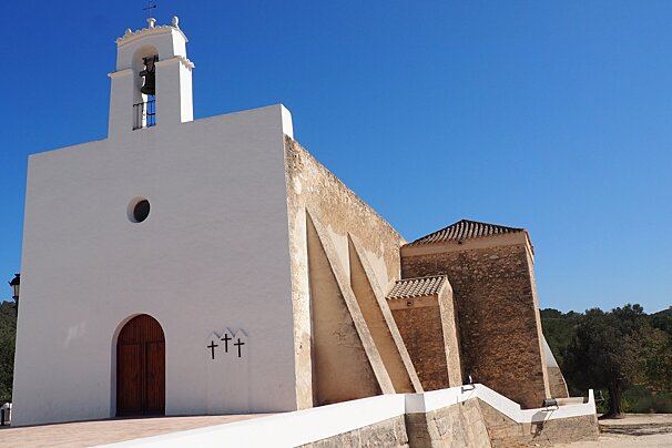
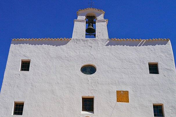
The 19th century Esglesia de Sant Agusti is a large stone building whitewashed in typical Balearic style and topped with a bell tower, it is distinctive when compared to other Ibizan churches by its lack of porch area common to most.
-

Santa Agnes Church, Santa Agnes
Situated in the west of Ibiza the small town of Santa Agnes comprises just two restaurants and a beautiful church.
-

San Jose Church
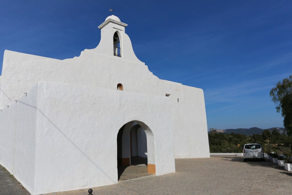
Typical Ibizan white washed church with bell tower and traditional bell situated right in the heart of the town.
-

San Rafael Church, San Rafael
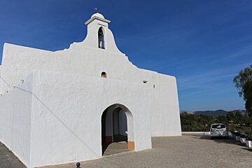
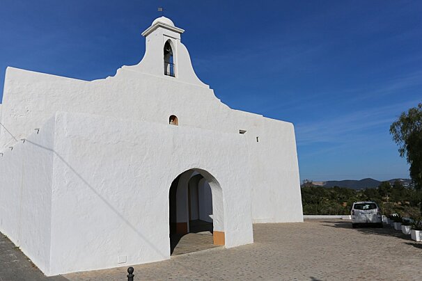
Situated a little away from the town centre in the older part of San Rafael the church is white washed in the traditional fashion.
Where to lunch
It might be best to take a packed lunch on this particular cycle so that you can go at your own pace and follow the trails without worrying about finding a food stop. You can always snack more when you reach Ibiza town itself...or stop off on the way back through San Rafael at the delightful Rabbit Hole.
Restaurants in Sant Antoni
See all Restaurants-

O Beach Club
Located on the west coast of the island, in San Antonio, along the stunning S'Arenal waterfront with ocean views, this is the perfect place to enjoy a lazy day or party by the pool.
-

Ample 32 Restaurant
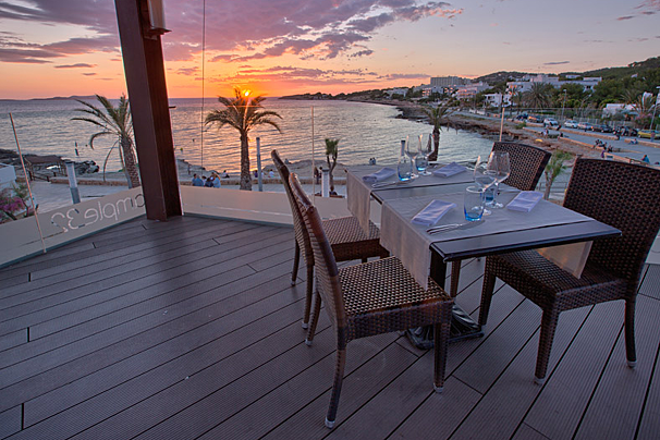
The head chef and owner Miguel Tur is a young Ibicenco who has put all his knowledge and experiences into creating traditional Ibizan dishes with a modern twist.
-

Kasbah Bar & Restaurant
Located near the end of the sunset strip of Sant Antoni de Portmany, Ibiza, Kasbah is the heart of authentic Mediterranean dining, offering a unique culinary experience.
-

Tapas Restaurant & Lounge Bar
This restaurant and lounge bar is a great setting for an informal evening of sharing tapas and enjoying some drinks.
-

Sa Capella Restaurant
Located in the 18th-century chapel of Saint Agnes, just outside San Antonio, this restaurant offers delicious cuisine in a grand setting.
-

Kumharas Restaurant, San Antoni
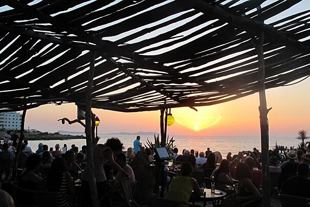
Kumharas is located in Cala de Bou. It's a great place to watch sunset, listen to cool music and enjoy exotic cuisine.
What to do
Things To Do in Sant Antoni
See all Activities & Trips-

Es Vedra & Formentera Boat Trip
An all-inclusive trip, departing from San Antonio, this cruise takes you towards the famous rock island of Es Vedra and Formentera.
-

Ibiza Island Tour Boat Trip
Discover the beautiful island of Ibiza with this full-day tour that takes you all around its coastline during the summer months.
-

Es Vedra Cruise
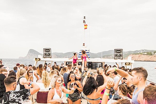
Relax aboard a double decker catamaran as you take in views of the beaches and picturesque bays that dot Ibiza's west coast.
-

Es Vedra Glass Bottom Boat Trip
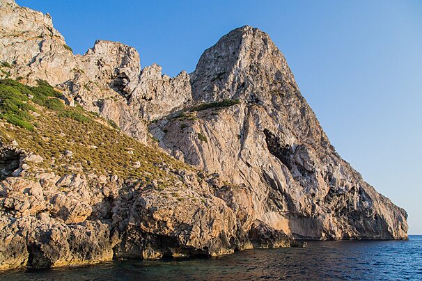
A three-hour cruise on a glass bottom boat round the west coast of San Antonio going to the island of Es Vedrá. During the trip, you will be able to see the bays of Cala Bassa, Cala Conta, Cala Molí, Cala Vadella, Cala Carbó, Cala d'Hort and Es Vedrá.
-

Slingshot Ibiza
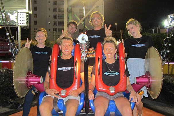
Next door to two of Ibiza's biggest clubs, the Slingshot is open from midday until 4am. Whether you prefer to ride in the dy, and enjoy the spectacular view of San Antonio and the surrounding bay, or ride at night with all the mayhem and fun of the fair.
-

Cap Blanc Aquarium
The lake surface is around 300m2, with most of the animals living in the middle, there are up to six tanks of varying size where other smaller species live.
Directions
1. Departure. Departure from Sant Antoni at the Cala de Bou roundabout on Av. Dr. Fleming, next to a sign describing the routes. We start off by heading north and turn to the right at the first crossroads, next to a bridge.
2. Left turn. Close to a group of houses, we turn left onto a very narrow road. Around 200 metres further on, we turn right onto a track that goes through some fields. We come to road, cross it, and continue straight ahead.
3. A fork to the right onto a path. We come to a crossroads and take the path to the right. When we come to another fork, we continue along the path to the right. When we come to the path, we turn left and continue straight ahead at the next crossroads.
4. Left turn onto the road. We’ll come to a road where we’ll turn left. When we come to a residential area, we turn left on dels Garrovers Street and pass by a sports field.
5. Left turn. We go almost to the end of the street and then turn left. Next, we take a track that branches out on our right. At the next fork, we go left again, following a road that turns into a path.
6. Fork to the left. We come to a fork and go to the left along a path full of vegetation with walls on each side. When we arrive at a track next to a farm, we turn left and link up with a paved road in front of us.
7. Right turn onto a track. Next to a group of houses, we turn right onto a track. At the next crossroads, we turn left and go up a hill until we come to a road. Here we turn left and immediately after, we take a dirt road to the right.
8. Fork to the left. We arrive at a fork and go to the left until we come to a crossroads. Here we turn right and go straight ahead until we come to another fork where we go left again.
9. A fork to the right. At the next fork we go to the right and at the next two crossroads, we go straight ahead. Further on, next to a house at a crossroads, we go right and continue until we come to road, where we turn to the right.
10. Left turn, track. At this point, we take a track that goes uphill to the left. At the next three forks, we turn left, then right, and then left again, consecutively.
11. Right turn onto a path. Just before we come to a house, we take a path on the right that goes uphill through a wood. 1 Km further on we come to a fork and turn left. When we arrive at a track, we turn right and go downhill.
12. Right turn. We arrive at a crossroads and go downhill to the right until we come to another fork, where we turn right. When we arrive at a road, we turn right again.
13. Left turn, track. Here we take a track to the left and begin the ascent to sa Murta. At the next fork, we continue along the main track on our left.
14. Fork to the left. We go almost to the top and then continue to the left. At the next crossroads we go straight ahead and then turn left to go downhill for about 1.5 Km until we come to a house. We continue downhill on the same main track, bearing right.
15. Left turn onto the road. We come to a road and turn left. A few metres further along, we turn almost 180 degrees to the left to get onto a track. There is another crossroads after 20 metres, where we go left.
16. A fork to the right. We come to a fork and turn right to go uphill. As we go uphill, we come to a crossroads and continue straight ahead on the same track until we come to a road, where we turn right.
17. Right turn. We turn right at the crossroads and continue downhill until we come to a roundabout. We go straight ahead through the outskirts of Eivissa city. When we come to a sports pavilion, we turn right through a field and take an overpass to cross the road.
18. Roundabout, straight ahead to the city. At the roundabout, we go straight ahead along Avenida de España. Further along, we turn right on Ramon Muntaner Street and go all the way to the end. Then we take a dirt road that goes uphill next to the sea.
19. Crossroads, continue straight ahead. We come to a small car park and continue straight ahead at the crossroads. At the next fork, we go left and up a winding street. At the next two crossroads, we turn right.
20. Left turn, up some steps. We follow the road until we come to the Dalt Vila ramparts. We find some partly hidden stairs to the left and go up them, past the walls and up to the old quarter. When we arrive at the top, we turn left and go downhill through the streets until we come to Vara de Rey.
21. Right turn to the northeast. From Vara de Rey, we turn onto Ignasi Wallis Street and go straight ahead until we come to a roundabout. We continue straight ahead and take the first turn to the right. We continue straight ahead at several crossroads and a roundabout, passing by the power station, until we come to the old road to Sant Mateu.
22. Left turn, track. We follow the same road for about 3 Km and then turn left on the dirt track. We go straight ahead at the next two crossroads and then turn left at the next fork, without leaving the main track.
23. Right turn. We arrive at the crossroads and turn right onto a road. We continue to bear right and a few metres further on we turn right onto a track. We come to a road and turn right. When we come to a fork, we turn left.
24. Right turn onto a dirt road. We arrive at a crossroads next to the Privilege disco and take the dirt road to the right. At the next fork we turn left. Around 800 metres further on, we take a track on our left and go uphill.
25. Fork to the left. We arrive at a crossroads and take the road to the left. At the next fork we go left again and at the next crossroads we go straight ahead, and then we turn right.
26. Right turn onto a dirt road. We turn right onto an uphill dirt road with loose stones that goes uphill. When we come to a paved road we turn left. We turn right about 100 metres further on, and then, opposite the municipal sports pavilion, we turn right onto a track.
27. Fork to the left. We continue along the track for about 1 Km until we come to a fork, where we turn left. At the next crossroads we turn right. When we come to a road, we cross it and go straight ahead along the track until we come to another road, where we turn right.
28. Left turn, track. When we come to a track, we turn right and follow it for about 1 Km until we come to a fork. Here we turn left. 100 metres further on, we come to a house and turn left. At the next crossroads, we go straight ahead.
29. Right turn. When we come to a crossroads, we turn right. At the next crossroads, we continue straight ahead, following a path that goes through a gate. We continue straight ahead. We come to a fork and turn left. We continue until we come to a path on our right, next to a wall.
30. Crossroads, straight ahead along the path. We come to a road and cross it to follow the path until it joins a track. We follow the path and come to several crossroads where we continue straight ahead.
31. Right turn. We come to a crossroads and turn right. We go uphill a short way and then we turn left and continue straight ahead until we come to a road, where we turn left. At the next two crossroads, we go straight ahead.
32. Left at the crossroads. We’ll come to a road where we turn left to head for Sant Antoni. We arrive at the town and come to two roundabouts where we go straight ahead until we arrive at the municipal soccer field.
33. End of the itinerary. We end our route next to the sign describing the MBTs, next to the municipal soccer field.
